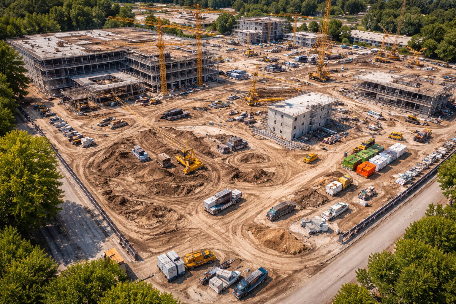
Anyone who's been through the permit or variance process with a Long Island town or village knows it can be slow and detail-obsessed — and for good reason. One thing that consistently helps: clear, current aerial documentation that shows a board exactly what's on a site today.
Where aerial imagery helps
- Showing existing conditions, setbacks, and lot coverage.
- Documenting what's already on a property before changes.
- Illustrating drainage, grading, and neighboring structures.
- Supporting variance requests with a clear visual case.
Clearer applications, fewer questions
When a board can see the site clearly, there's less back-and-forth and less room for misunderstanding. A clean aerial map or set of dated photos answers questions before they're asked — which can keep an application moving instead of stalling.
Current beats outdated
Aerial imagery from a public database may be years old and miss recent changes. A fresh flight captures the site as it is right now, which is exactly what a board wants to see.
Heading into a town or village review? Let's document your site before your hearing.