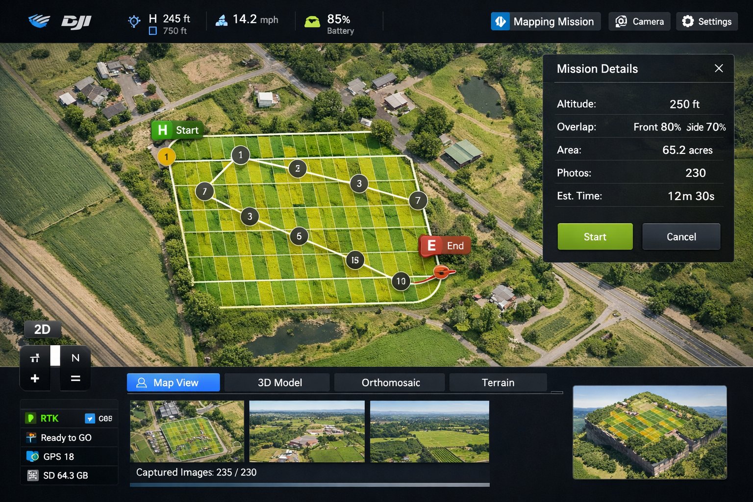
Start with a clear overhead record
A current aerial of your site shows access, grading, tree cover, drainage and neighboring uses. Our Commercial Aerial Photos package covers one location up to 3 acres and gives you overview imagery you can share with your team.
Orthomosaic and 3D site models (by inquiry)
Mapped or modeled sites are quoted per project once we confirm what you need and how the result will be used. Availability is confirmed after we review your site, so email us the address, the acreage and what the map is for.
What drone maps are, and are not
Drone imagery documents what is on a property for planning and records. It is not a boundary survey and does not replace a licensed land surveyor or engineer.
Where it helps
- Development and site planning
- Permit and variance support
- Landowners and farms
- Drainage and grading visibility
Who It Is For
Packages and Pricing
Commercial Aerial Photos
Show your building, parking, access and surroundings.
Choose PackageOrthomosaic or 3D site model
Mapped or modeled sites, scoped after we confirm capture and processing.
Ask About This InspectionPrices marked "From" are starting prices. We confirm the scope and total before booking. See all pricing.
How It Works
- Tell us what you need. Send the address or site, what you want captured and your timing.
- We confirm scope and total. You get a clear quote, and we arrange any airspace authorizations before the flight.
- We fly and deliver. You receive your files through a secure download link.
Frequently Asked Questions
Is a drone map the same as a survey?
No. Drone imagery and maps document a site for planning and records. For legal boundaries, use a licensed land surveyor.
Do you offer 3D models?
Orthomosaic and 3D site models are project inquiries. Email us the location and what you need, and we will tell you whether we can take it on.
How do I get a mapping quote?
Email the address, the approximate acreage and the purpose of the map, and we will follow up with a clear quote.
From the Blog
Other Services
Where We Fly on Long Island
We serve all of Long Island. Popular areas for this service: