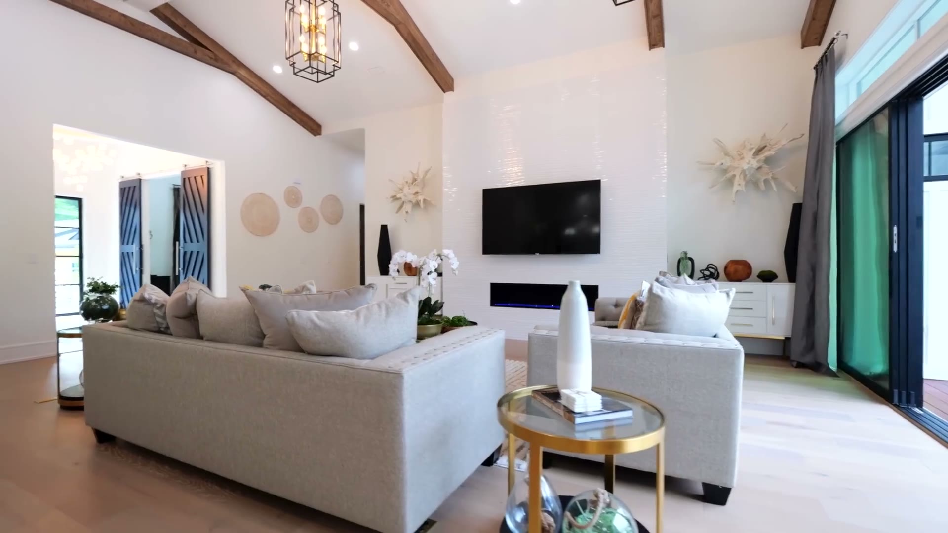
On Long Island's competitive real estate market, the listings that stand out are the ones that look different in the search results — and nothing stops the scroll like a stunning aerial shot. Aerial photos show what ground photos cannot: the lot, the water, and the neighborhood around the home.
Why aerial photography works for Long Island listings
So much of what makes a Long Island property valuable lives outside the four walls: the waterfront, the pool, the lot size, the proximity to the beach or the Sound, the tree-lined street. Ground-level photos simply can't show those things the way a drone can.
- A single aerial shot conveys lot size, layout, and setting instantly.
- Waterfront, canal, and beachfront homes look dramatically better from above.
- Neighborhood context — parks, marinas, schools, the shoreline — sells the lifestyle, not just the house.
- Twilight and golden-hour flyovers add a premium, cinematic feel that buyers remember.
What a great drone real estate package includes
At Up Top Visuals, our real estate packages are built for Long Island agents and homeowners who want their listings to move. A typical shoot delivers:
- High-resolution aerial photography, MLS-ready files.
- Cinematic aerial video flyovers and walkarounds for the listing and social media.
- Optional twilight / golden-hour shoots for high-end homes.
- Both residential and commercial properties across Nassau and Suffolk.
Done legally and safely
Every flight is operated by an FAA Part 107 certified remote pilot, and we handle all airspace authorizations — important on Long Island, where parts of the South Shore and areas near MacArthur and JFK sit in controlled airspace. We're fully insured, so your shoot is covered from takeoff to delivery.
Ready to make your next Long Island listing impossible to scroll past? Get a free quote or learn more about our real estate aerial services.