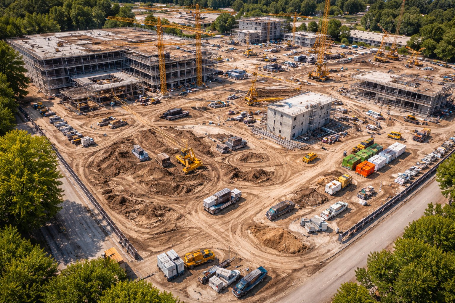
Developing land on Long Island means working within tight constraints — town and village codes, environmental setbacks, existing infrastructure, and neighbors who notice everything. Drone mapping gives developers the accurate, current site data they need to plan with confidence before money goes in the ground.
How drone data supports development
- Current, measurable aerial maps of the full parcel.
- Topography and grading information for site design.
- Documentation of existing trees, structures, and drainage.
- Imagery to share with planners, engineers, and town boards.
Faster than the old way
Walking and measuring a large or wooded Long Island parcel on foot is slow and incomplete. A drone covers it in a single flight and delivers data your engineer and surveyor can build on — shortening the planning timeline and reducing costly surprises later.
A clear record for approvals
Town and village approvals go smoother when you can show exactly what's on a site today. Clean aerial maps and imagery make your application clearer and your case stronger.
Working on a Long Island development? Tell us about the parcel and we'll scope the mapping.