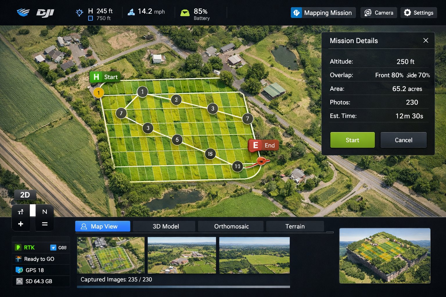
The most expensive mistakes on a construction project happen before anyone pours concrete. A drone site survey gives Long Island builders, architects, and developers a clear, current, top-down view of a parcel — so you plan around what's actually there, not a years-old survey or a guess.
What a pre-construction drone survey captures
- An up-to-date aerial of the entire site and its boundaries.
- Existing structures, trees, grading, drainage, and access points.
- Neighboring properties and setbacks that affect your footprint.
- High-resolution imagery you can measure, annotate, and share with your team.
Why it matters on Long Island specifically
Long Island parcels come with their own complications — wetlands and bay frontage on the South Shore, mature tree cover on the North Shore, tight lots in built-up areas of Nassau, and strict town and village codes everywhere. Seeing the whole site from above helps you spot constraints early, brief your surveyor and architect accurately, and avoid surprises during permitting.
From survey to ongoing documentation
A pre-construction flight is also your project's "before" photo. Pair it with periodic progress flights and you've got a complete visual timeline — useful for investors, town inspectors, and your own records. We can schedule recurring flights to match your build calendar across Nassau and Suffolk.
Planning a build? Tell us about your site and we'll put together a survey and monitoring plan.