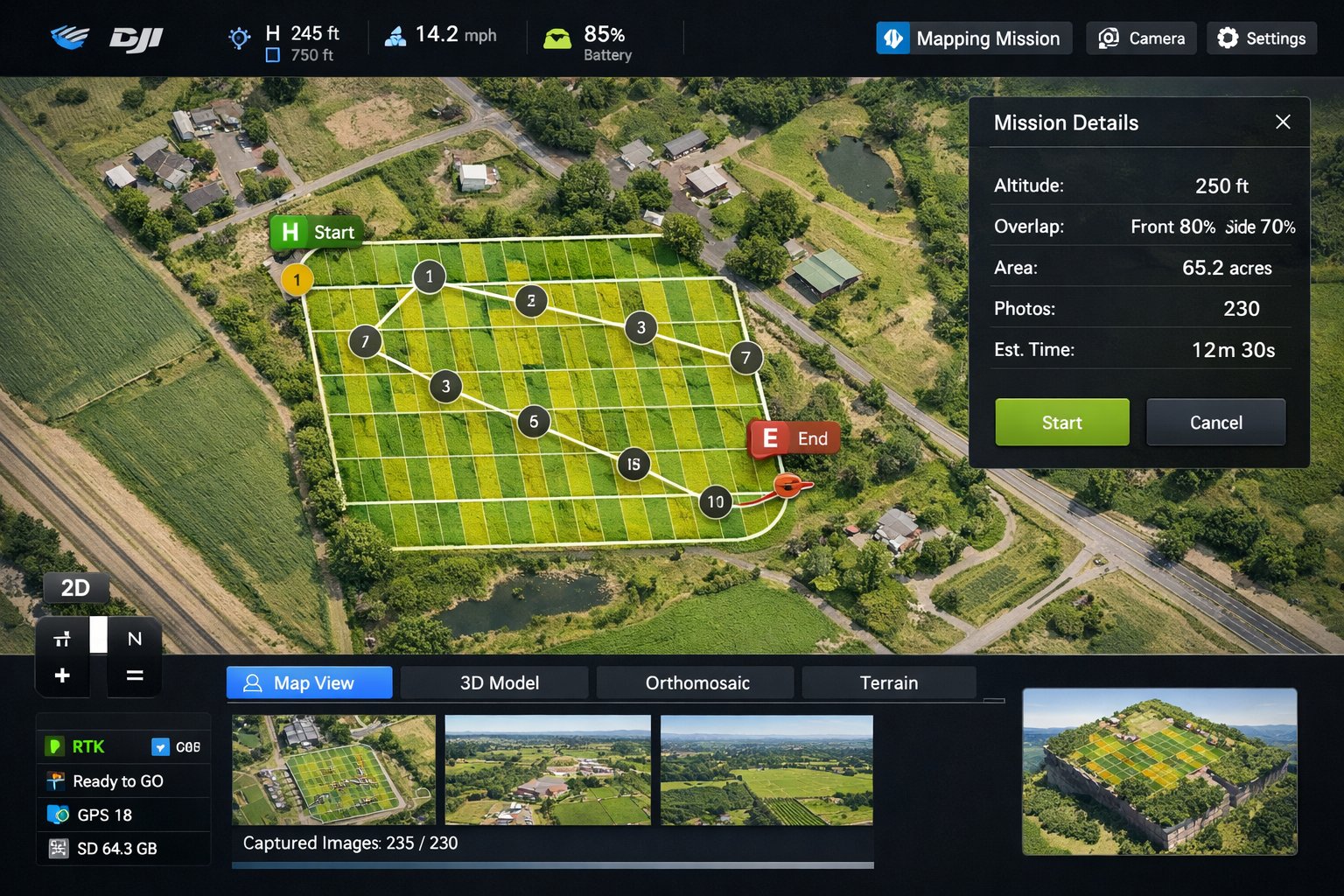
Before you tie up a parcel under contract, you want to know what you're really buying. A map or a drive-by only tells you so much. An aerial scout gives Long Island developers and investors a fast, honest read on a site, its access, its surroundings, and the constraints that a listing photo conveniently leaves out, so you can shortlist smarter and walk away from the wrong deals early.
What aerial scouting reveals
- True parcel context, including how the lot sits relative to roads and neighbors.
- Access points, frontage, and how the site connects to existing infrastructure.
- Tree cover, grading, drainage, and visible wet areas.
- Adjacent land uses that could affect approvals, value, or marketability.
Reading a Long Island parcel from above
Long Island land comes with specific tells you can spot from the air. Wetlands and tidal frontage along the South Shore and the bays, mature tree cover and steep grade changes on the North Shore and the Gold Coast, working farmland and preservation parcels on the North Fork, and tight infill lots across Nassau where setbacks decide everything. Seeing all of it in one overhead pass helps you anticipate town and village hurdles before you spend money on due diligence.
Move faster on the right sites
When you're comparing several parcels, a consistent set of aerials makes them easy to evaluate side by side and easy to share with partners and lenders. We can scout multiple candidate sites across Nassau and Suffolk on one outing, flying as an FAA Part 107 certified and insured operator and clearing any airspace near the regional airports through LAANC beforehand.
Weighing a few sites? Send us the addresses and we'll scout them from the air so you can shortlist with confidence.